Uncover the Volcanic Marvels of Japan
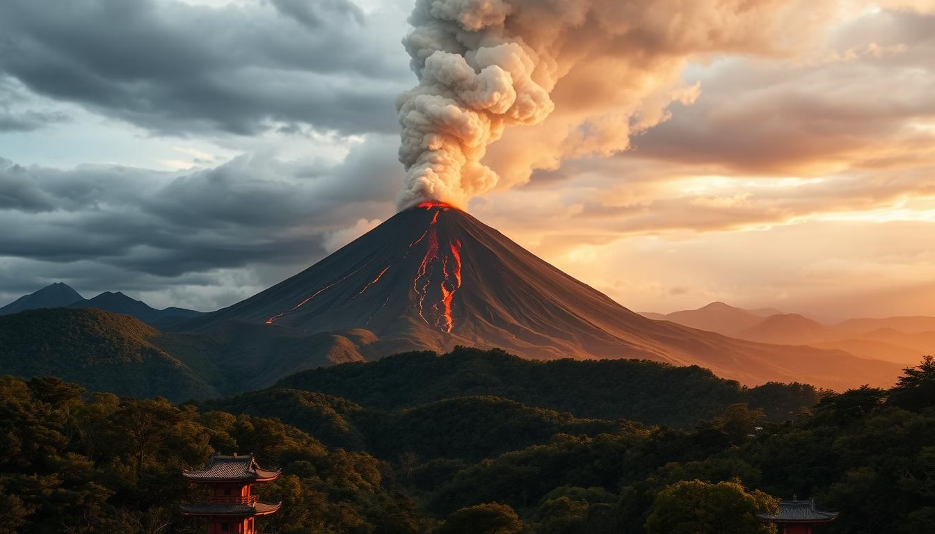
Welcome to a land where fiery mountains meet ancient traditions. Situated along the Pacific Ring of Fire, this archipelago boasts 111 active geological giants – more than any country except Indonesia. These natural wonders account for 10% of Earth’s total, their smoke plumes painting the horizon for millennia.
The islands’ dramatic landscapes tell stories written in lava and ash. Towering peaks like Mount Fuji draw millions yearly, while steaming hot springs reveal the land’s simmering energy below. Every day brings reminders of nature’s power, from rumbling tremors to mineral-rich onsens bubbling to the surface.
This geothermal activity shapes more than just scenery. It influences architecture, cuisine, and spiritual practices. Communities thrive near these sleeping giants, their lives intertwined with the earth’s rhythms. Recent eruptions remind us these formations remain very much alive, constantly reshaping their surroundings.
Key Takeaways
- Japan contains 10% of Earth’s active volcanic systems
- Geothermal energy fuels iconic hot spring resorts
- Major peaks attract hikers and spiritual seekers
- Cultural traditions celebrate nature’s power
- Ongoing eruptions create ever-changing landscapes
Introduction to Japan’s Volcanic Landscape
The islands of Japan are a living canvas painted by fiery forces beneath the Earth’s crust. Located within the Pacific Ring of Fire, this archipelago experiences more than 100 seismic events daily – most too subtle to feel. What makes this region extraordinary? It hosts 111 active volcanoes, representing nearly 10% of the world’s total.
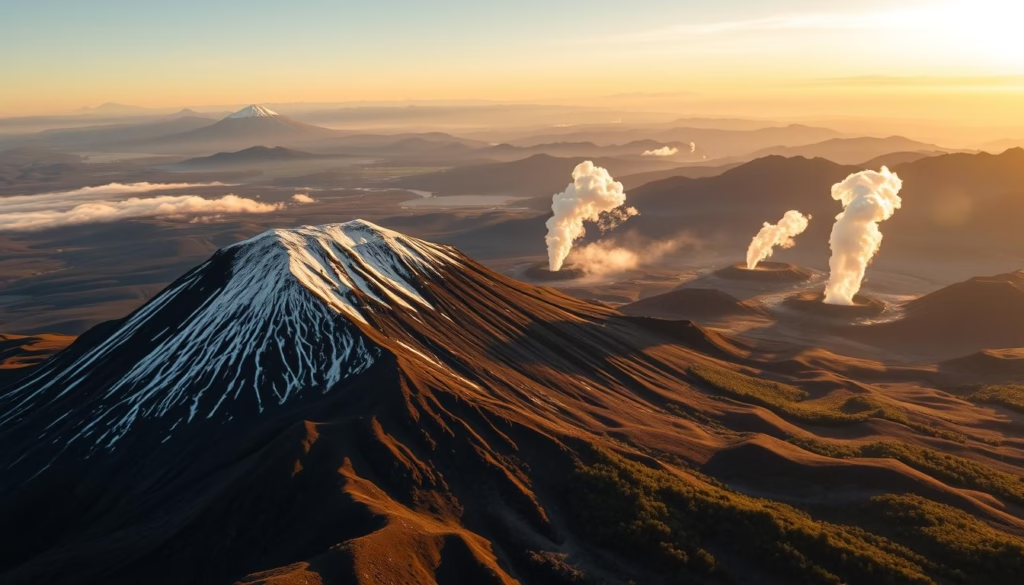
Over millions of years, eruptions have sculpted every part of the landscape. From Hokkaido’s snow-capped peaks to Kyushu’s steaming valleys, the terrain reveals nature’s artistic hand. Calderas wider than cities, emerald crater lakes, and mineral-rich hot springs showcase geology’s diversity.
Local life intertwines with these geothermal wonders. Traditional wooden houses feature earthquake-resistant designs, while festivals honor mountain deities. “The land breathes through its peaks,” observes Kyoto University geologist Dr. Hiroshi Tanaka. “Our culture learned to dance with this rhythm.”
Three key features define these landscapes:
- Stratovolcanoes with near-perfect symmetry
- Underground thermal networks fueling 27,000 hot springs
- Biodiversity hotspots around volcanic soil
Travelers find more than postcard views here. Natural volcano saunas invite relaxation, while guided hikes reveal ecosystems thriving in acidic soils. Each region offers distinct adventures – whether soaking in Beppu’s mud baths or tracing lava tunnels in Aokigahara Forest.
Geologic Forces: Tectonic Activity and the Ring of Fire
Earth’s restless movements craft Japan’s dramatic terrain through an intricate dance of tectonic plates. Four massive slabs of crust – Pacific, Philippine Sea, Eurasian, and North American – collide here, creating immense pressure that fuels fiery phenomena.
Understanding Plate Convergence
When oceanic plates slide beneath continental ones, magic happens 60 miles underground. This subduction process melts rock into magma chambers. Three factors determine eruption potential:
- Plate collision speed (up to 4 inches yearly)
- Rock composition and water content
- Pressure buildup over centuries
Seismic Activity and Its Impact
The same forces causing earthquakes also trigger eruptions. About 1,500 measurable tremors shake the islands monthly – most harmless, but some game-changers. A 2023 study revealed:
- 87% of major eruptions follow magnitude 6+ quakes
- Underground magma shifts can trigger smaller quakes
- Coastal areas face dual tsunami-volcano risks
These interactions create living laboratories for geologists. As Dr. Emi Sato from Tokyo University notes: “Our land teaches us humility. Every eruption rewrites textbooks.” Modern monitoring systems now track these patterns in real-time, helping communities coexist with Earth’s raw power.
Volcanoes in Japan: Natural Wonders and Eruptions
From tranquil hot springs to explosive peaks, the archipelago’s fiery landscapes reveal Earth’s artistic power. Recent activity showcases this dynamic balance – Kirishimayama has spewed ash continuously since June 2025, while Kikai’s 2024 eruptions painted skies with volcanic plumes visible from space.
- Effusive flows creating black sand beaches
- Explosive events forming calderas
- Phreatic bursts producing mineral-rich hot springs
| Volcano | Activity Period | Eruption Style | Impact |
|---|---|---|---|
| Kirishimayama | 2025-Present | Strombolian | Hiking restrictions |
| Kikai | Sep-Oct 2024 | Submarine | New island formation |
| Ioto | 2023-2024 | Phreatic | Hot spring renewal |
Crater lakes demonstrate nature’s color palette. Lake Okama’s waters shift from turquoise to emerald based on sunlight and mineral mix. These basins host extremophile organisms thriving in acidic conditions – a scientific marvel drawing researchers worldwide.
“What looks destructive also creates life,” notes volcanologist Dr. Akira Mori. Eruptions enrich soil for agriculture while sculpting landmarks like Aso’s 16-mile wide caldera. Safety systems allow safe exploration, with real-time alerts keeping visitors informed.
Cultural and Historical Impact of Japan’s Volcanoes
Japan’s fiery peaks have shaped more than landscapes—they’ve molded a nation’s soul. For over 1,000 years, these geological wonders have inspired spiritual journeys and artistic masterpieces. Their influence appears everywhere from ancient poetry to modern banknotes.
Spiritual Significance and Pilgrimages
Sacred mountains host shrines where people pray to mountain spirits called kami. Each summer, thousands climb Mount Fuji’s slopes seeking enlightenment. “The volcano isn’t just rock—it’s a living bridge between earth and heaven,” explains Shinto priestess Yuri Nakamura.
Art, Literature, and National Identity
Katsushika Hokusai’s famous woodblock prints made Mount Fuji a global icon. Writers through the years have used volcanic imagery to explore life’s temporary beauty. Today, this symbol appears on passports and corporate logos.
| Cultural Element | Volcanic Connection | Time Period |
|---|---|---|
| Shinto Shrines | Built on slopes | 8th century-present |
| Pilgrimage Routes | Follow lava flows | 12th century |
| Ukiyo-e Art | Featured peaks | 19th century |
| UNESCO Sites | 25 landmarks | 2013 designation |
Hot spring rituals and New Year sunrise views keep traditions alive. These practices remind people of their deep connection to the land—a relationship forged through time and reverence.
Mount Fuji: The Iconic Symbol of Japan
A snow-capped cone piercing the clouds, this legendary volcano embodies nature’s perfection. Standing at 3,776 meters, Mount Fuji isn’t just the country’s highest peak – it’s a cultural touchstone worshipped for centuries.
Formation, Eruptions, and Legend
Earth’s artistic hands shaped this giant over 10,000 years. Repeated eruptions built its symmetrical slopes layer by layer. The last major blast in 1707 lasted 16 days, dusting Tokyo with ash. “Fuji-san reminds us that beauty and power coexist,” says historian Mariko Ishikawa.
Four trails challenge adventurers to reach the top:
- Yoshida: Most popular route with mountain huts
- Subashiri: Forested path merging with Yoshida
- Gotemba: Steepest ascent for experienced hikers
- Fujinomiya: Shortest but most direct climb
Despite its calm since 1707, scientists keep watch. Thermal sensors and gas monitors track subtle changes 24/7. The mountain’s UNESCO status honors both its geology and role in shaping traditions – from woodblock prints to spiritual pilgrimages.
Monitoring Activity: Japan Meteorological Agency and Volcanic Safety
Advanced technology meets public safety across the archipelago through cutting-edge volcanic tracking systems. The Japan Meteorological Agency operates 24/7 monitoring stations that analyze seismic shifts and gas emissions. Their network detects subtle changes in real-time, helping communities stay informed.
How Warning Levels Work
The meteorological agency uses a color-coded alert system ranging from Level 1 (normal) to Level 5 (evacuate). Each stage triggers specific actions:
| Alert Level | Public Guidance | Example Site |
|---|---|---|
| 1 | No restrictions | Mount Aso |
| 2 | Stay 1km from crater | Asama |
| 3 | No approach allowed | Sakurajima |
| 4 | Prepare to evacuate | Kusatsu-Shirane |
| 5 | Immediate evacuation | – |
Emergency Preparedness Tips
Local governments conduct monthly drills using the Japan meteorological agency’s data. Three essential strategies protect residents:
- Download official alert apps for eruption warnings
- Identify evacuation routes marked with orange signs
- Pack emergency kits with N95 masks and goggles
Specialized teams like Tokyo DMAT train for rapid response during ashfall events. Through constant activity tracking and community education, the country maintains one of the world’s lowest volcanic casualty rates despite frequent eruptions.
Mt. Rishiri: A Hidden Volcanic Gem
Rising dramatically from the Sea of Japan, this solitary stratovolcano offers adventurers a perfect cone-shaped peak crowned with alpine flowers. Located on its namesake island 20 miles west of Hokkaido, the 1,721-meter giant creates its own weather patterns – clouds often cling to its slopes like lace on a wedding dress.
Paths Less Traveled
Four main trails wind through fragrant pine forests and volcanic scree fields. The most popular route starts at Oshidomari, where hikers encounter rare flora like Rishiri violet. As you ascend, the landscape shifts from mossy woods to rocky ridges with views stretching to Russia’s Sakhalin Island.
Summer brings purple crowberry blooms, while autumn paints the mountain in fiery reds. Local guides recommend starting at dawn to catch sunrise over the Okhotsk Sea. “Each turn reveals new wonders,” says veteran climber Kenji Sato. “One moment you’re in fog – next, you see eagles riding thermal currents.”
The island’s compact size makes exploration easy. After your hike, soak in natural onsens while watching fishing boats dot the cobalt waters below. This hidden volcano proves that great adventures come in small packages – no crowds, just raw natural beauty.
